 EA4FSI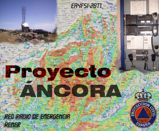
Áncora.
(Del lat. ancora).
- f. ancla (de la nave).
- f. Aquello que sirve o puede servir de amparo en un peligro o infortunio.
- f. Arg. ancla (pieza de metal que asegura la función de un tirante).
Summary
This Spanish-language project describes the creation of a GIS in Google Earth containing operational information on the national REMER repeater network, together with radio-coverage maps generated with Radio Mobile and data exports for other navigation and mapping applications.
Spanish-language content: The complete original project documentation is available through the Spanish version of this article.
This article is currently available in Spanish only. The English interface and summary are provided for navigation; the original project documentation remains in Spanish.